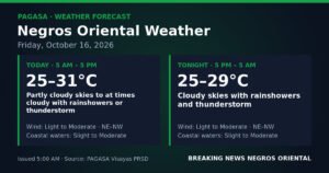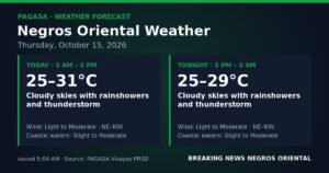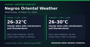
DUMAGUETE CITY, Negros Oriental — October 17, 2026. The northeast monsoon is bringing unsettled weather to Negros Oriental on Saturday, with the Philippine Atmospheric, Geophysical and Astronomical Services Administration (PAGASA) forecasting rainshowers and thunderstorms that will persist from early morning through the pre-dawn hours of Sunday. The agency released its Visayas regional forecast at 5:00 AM, covering Dumaguete City, Bayawan, Bais, Guihulngan, Tanjay, and the island province of Siquijor.
What Is Behind the Wet Weather
According to PAGASA, winds over Negros Oriental are blowing from the northeast to north — the signature direction of the amihan, or northeast monsoon. As this seasonal airflow travels over open sea before reaching the province, it gathers moisture that then produces cloud buildup, rainshowers, and thunderstorms over land. PAGASA’s bulletin identifies this as the primary driver of Saturday’s unsettled conditions across the province.
The agency’s forecast data specifically identifies northeast-to-north wind flow as the official provincial-level detail for Negros Oriental, and residents are advised to follow this designation rather than broader regional generalizations.
Daytime Outlook: Rain and Thunder Possible at Any Hour
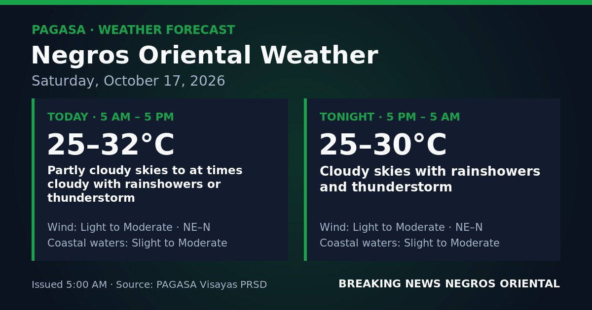
From 5:00 AM to 5:00 PM Saturday, PAGASA forecasts partly cloudy to at times cloudy skies over the province, with rainshowers or thunderstorms possible throughout the morning and afternoon. While some brief sunny breaks may occur, the agency warns that downpours can develop quickly and without extended lead time.
Daytime temperatures will sit between 25°C and 32°C, keeping air conditions warm and humid. Winds will be light to moderate, blowing from the northeast to north.
PAGASA’s sea-state forecast for coastal waters around Negros Oriental — including the Tañon Strait separating Negros from Cebu, and the passage between Dumaguete and Siquijor — calls for slight to moderate conditions during the day. The agency classifies “slight” wave heights at roughly up to half a metre, and “moderate” wave heights up to 1.25 metres. Small outrigger bancas may find these conditions difficult, especially when rain squalls pass through.
Overnight Forecast: Sustained Cloud Cover and Active Storms
The evening and overnight period — from 5:00 PM Saturday to 5:00 AM Sunday — will see worsening conditions, PAGASA said. Unlike the daytime window, which allows for some partly cloudy intervals, the nighttime forecast describes fully overcast skies with continuous rainshowers and thunderstorms likely across Negros Oriental.
Overnight temperatures will range between 25°C and 30°C. Winds remain light to moderate from the northeast to north, and coastal waters will stay at slight to moderate sea states. PAGASA noted that navigating in rain and low visibility at night carries elevated risk even when wave heights are within the slight-to-moderate range.
Communities in low-lying areas of Dumaguete, Bais, Bayawan, Guihulngan, and Siquijor should remain alert for possible localised flooding or surface runoff, particularly if thunderstorm activity proves prolonged overnight.
No Gale Warnings or Cyclone Signals in Effect
As of PAGASA’s 5:00 AM bulletin for October 17, 2026, no gale warnings and no tropical cyclone wind signals are active for Negros Oriental or the wider Visayas region. The agency’s bulletin also does not cite any yellow, orange, or red rainfall warnings for the province at the time of issuance.
PAGASA advises residents to continue monitoring its official channels throughout Saturday, as thunderstorm intensity can change within hours and new advisories may be issued. The agency noted that the absence of formal warning levels does not eliminate the hazards of lightning strikes, wind gusts, and rapid-onset heavy rainfall capable of flooding urban drainage systems and low-lying streets.
Guidance for Specific Activities
Commuters in Dumaguete and Nearby Towns
Those travelling to work, the market, or school on Saturday morning should carry rain gear at all times, PAGASA’s forecast implies. Motorcyclists and drivers should reduce speed on wet roads and watch for flooded intersections in lower-elevation barangays. The evening commute should be treated as equally — if not more — wet and storm-prone than the morning.
Ferry and Inter-Island Passengers
Travellers on routes connecting Dumaguete to Siquijor, Dumaguete to Cebu, or other inter-island crossings in the area should verify schedules directly with their ferry operator prior to departure. While the slight-to-moderate sea-state forecast is not formally classified as dangerous for large vessels, PAGASA’s thunderstorm forecast means squalls and reduced visibility can affect sailing schedules. Operators such as OceanJet and Montenegro Lines routinely track PAGASA advisories. Passengers aboard smaller pump boats and motorised bancas are urged to exercise additional caution, particularly after dark when visibility is further reduced.
Fisherfolk and Small-Boat Operators
Fisherfolk operating out of Dumaguete, Bayawan, Bais, Tanjay, and the waters around Siquijor should note that coastal waters will be slight to moderate, with thunderstorms forecast for both day and night periods, according to PAGASA. The agency’s bulletin implies that small and medium fishing craft should avoid active thunderstorm cells given the serious lightning risk at sea. Overnight fishing trips on small vessels are inadvisable given the sustained cloudiness and probable storm activity the agency has forecast.
Farmers in Guihulngan, Bayawan, and Inland Areas
Agricultural workers across Negros Oriental — from the sugarcane flatlands near Bais and Tanjay to the highland vegetable areas outside Guihulngan — should secure harvested crops and move drying produce under shelter ahead of tonight’s more active weather period, PAGASA’s forecast suggests. Drainage channels and irrigation systems should be inspected to reduce the risk of waterlogging. Anyone working in open fields is advised to move to covered shelter at the first sign of approaching thunderstorms.
By the Numbers
- Forecast issued: 5:00 AM, October 17, 2026
- Daytime temperature range: 25°C to 32°C
- Overnight temperature range: 25°C to 30°C
- Daytime forecast period: 5:00 AM to 5:00 PM Saturday
- Overnight forecast period: 5:00 PM Saturday to 5:00 AM Sunday
- Coastal wave heights — “slight”: up to ~0.5 metres; “moderate”: up to 1.25 metres
Why This Matters
PAGASA’s bulletin notes that outdoor plans, inter-island ferry crossings, farming operations, and fishing activities may all be affected by the day’s rain and thunderstorm conditions. The agency also states that thunderstorms — even in the absence of formal gale or cyclone warnings — carry risks of lightning, gusty winds, and intense brief rainfall that can cause flash flooding in low-lying streets and drainage systems.
Source: breakingnewsnegrosoriental.com / PAGASA Visayas regional forecast bulletin, October 17, 2026