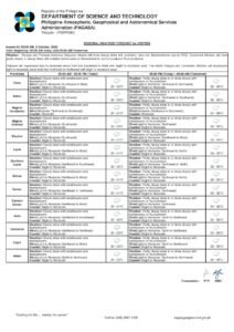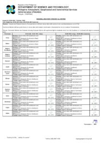
DUMAGUETE CITY, Negros Oriental — October 10, 2026 — Thunderstorms and persistent rain will define Saturday across Negros Oriental, according to a regional weather advisory released by the Philippine Atmospheric, Geophysical and Astronomical Services Administration (PAGASA) at 5:00 AM today. The advisory covers the full stretch of the province — from Guihulngan in the north down to Bayawan in the south — and extends to nearby island routes including Siquijor.
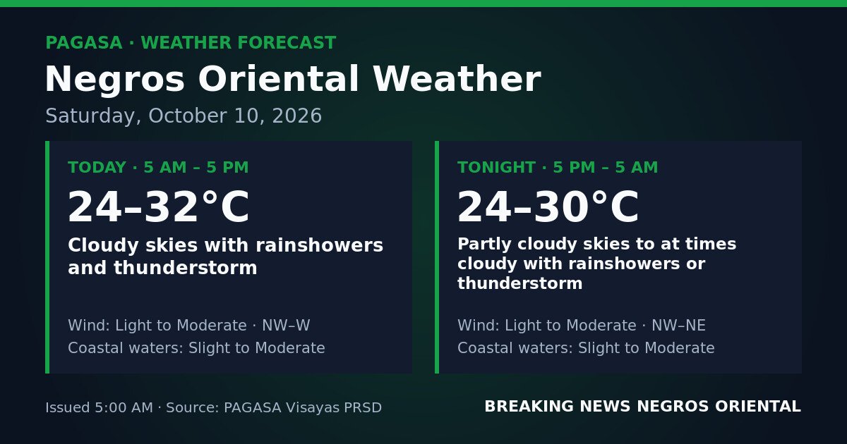
PAGASA’s Visayas regional forecast indicates cloudy skies with rainshowers and thunderstorms throughout the daytime period from 5:00 AM to 5:00 PM. Winds are described as light to moderate, blowing from the northwest to west direction. Coastal waters surrounding Negros Oriental are rated slight to moderate during this window.
Through the evening and into early Sunday, PAGASA forecasts a partial easing of conditions — though not a full clearance. From 5:00 PM Saturday through 5:00 AM Sunday, skies will turn partly cloudy to at times cloudy, with rainshowers or thunderstorms still occurring intermittently. Overnight winds will shift to a northwest-to-northeast direction while remaining light to moderate, and coastal waters will stay at slight to moderate levels.
By the Numbers
- Forecast issued: 5:00 AM, October 10, 2026
- Daytime temperature range: 24°C to 32°C
- Overnight temperature range: 24°C to 30°C
- Active thunderstorm window: 5:00 AM to 5:00 PM (daytime), with continued risk through 5:00 AM Sunday
No Named Weather System Identified
The PAGASA advisory does not attribute today’s unsettled conditions to any named weather system — no low-pressure area, tropical cyclone, monsoon surge, or shear line is cited as the cause. Despite the absence of a named system, atmospheric instability is sufficient to sustain thunderstorm activity across the province for most of the day and into the overnight hours. PAGASA’s thunderstorm forecast should not be interpreted as light, intermittent showers — active electrical storm conditions can develop and intensify rapidly.
What “Slight to Moderate” Coastal Waters Mean in Practice
PAGASA classifies sea conditions around Negros Oriental as slight to moderate for both the day and overnight periods. This means wave heights are elevated enough to make outrigger bancas, small fishing boats, and open watercraft uncomfortable and potentially hazardous. While this classification falls short of a gale warning — none of which is cited in the PAGASA forecast — the combination of choppy seas and active thunderstorm conditions warrants serious caution.
Thunderstorms can generate sudden localized wind gusts and waterspouts, conditions that compound risks for small and open vessels even when no formal gale warning is in effect.
Coverage Area: Province-Wide and Into Nearby Routes
According to PAGASA’s advisory, the forecast applies across the entire province of Negros Oriental. Communities including Guihulngan, Bais, Tanjay, Dumaguete, and Bayawan all fall under the same general pattern of cloudy skies, periodic rain, and thunderstorm risk throughout Saturday.
Siquijor, reachable from Dumaguete port by ferry and fast craft, is under comparable Visayas regional conditions and faces similar slight-to-moderate coastal waters. Those planning inter-island crossings between Dumaguete and Siquijor — or connecting via other Visayas routes — should factor in both sea state and the active thunderstorm risk. PAGASA also notes that Cebu, within the same broad Visayas forecast region, faces unsettled patterns, though specific conditions there will vary; travelers on Negros Oriental–Cebu routes are advised to check directly with their shipping lines.
Practical Guidance by Activity
Ferry and Inter-Island Passengers
Travelers departing from Dumaguete port to Siquijor, Cebu, or other destinations should contact their shipping line — such as OceanJet or other inter-island operators — before heading to the port. Vessel departure decisions rest with individual operators based on real-time conditions. Passengers prone to seasickness should take precautions, and anyone whose departure coincides with an active thunderstorm is advised to wait until the storm passes before boarding.
Fisherfolk and Small-Boat Operators
Operators of small outrigger bancas and open fishing boats along the Negros Oriental coastline and the waters between Negros and Siquijor face compounded risks today. PAGASA’s forecast of both slight-to-moderate seas and active thunderstorms means conditions can deteriorate quickly. Small-boat operators should avoid venturing far offshore and should return to port immediately upon sighting dark cloud formations or upon hearing thunder.
Farmers and Agricultural Workers
Field work — including harvesting, plowing, and the application of fertilizers or pesticides — across sugarcane, rice, and vegetable farms in areas such as Bais, Tanjay, and Guihulngan may be disrupted by sustained rainfall and muddy ground conditions. Lightning from thunderstorms poses a direct safety hazard to workers in open fields; PAGASA’s advisory effectively makes sheltering a priority whenever thunder is heard.
Commuters, Students, and Motorists
Rain gear — umbrella or raincoat — is essential for anyone moving through Dumaguete City or across municipal roads in Negros Oriental on Saturday. Motorcyclists and cyclists should reduce speed on wet roads, particularly after heavy downpours when standing water reduces traction and visibility. Parents accompanying children to school or weekend activities should ensure rain protection is on hand.
Outdoor Events and Construction
Organizers of outdoor gatherings — markets, sports events, community activities, or construction projects — should prepare contingency plans. PAGASA’s thunderstorm forecast persists throughout the day, meaning brief breaks in rainfall may be followed by renewed downpours. Workers at height, such as construction laborers, should suspend tasks during active thunderstorm periods given the direct lightning risk.
Temperature Outlook
PAGASA places daytime temperatures for Negros Oriental between 24°C and 32°C. Cloud cover and rainfall are likely to keep actual felt temperatures closer to the lower portion of that range for much of the day. Overnight readings will sit between 24°C and 30°C. No heat index advisory accompanies this PAGASA forecast.
The most practical step for Saturday: carry rain protection at all times, stay updated through PAGASA’s official channels, and avoid unnecessary exposure to open areas during active thunderstorm episodes.
Source: PAGASA / breakingnewsnegrosoriental.com