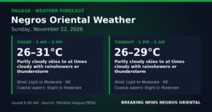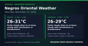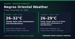
Anticipate a day of intermittent rainshowers and thunderstorms across Negros Oriental this Monday, November 23. The Philippine state weather bureau, PAGASA, has issued an advisory urging residents to exercise caution due to the anticipated unsettled conditions. This weather pattern, characterized by partly cloudy to cloudy skies, is expected to persist throughout the day and into Tuesday morning.
The official regional forecast from the Philippine Atmospheric, Geophysical and Astronomical Services Administration (PAGASA), released at 5:00 AM on Monday, November 23, covers the period from 5 AM Monday until 5 AM Tuesday. It indicates that residents, whether commuting in Dumaguete City, engaged in farming activities in areas like Bayawan or Guihulngan, or planning sea travel, should prepare for a continuously wet environment.
PAGASA’s Detailed Forecast for Negros Oriental
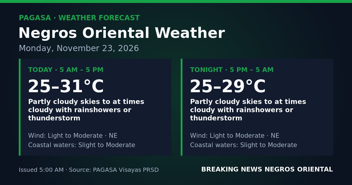
For the daytime period, from 5 AM to 5 PM Monday, PAGASA forecasts partly cloudy to at times cloudy skies, accompanied by rainshowers or thunderstorms. Temperatures are predicted to range between 25°C and 31°C. Winds will originate from the northeast, maintaining a light to moderate strength, while coastal waters are expected to be slight to moderate.
The overnight outlook, spanning from 5 PM Monday to 5 AM Tuesday, mirrors the daytime conditions. The state weather bureau anticipates the continuation of partly cloudy to at times cloudy skies with rainshowers or thunderstorms. Overnight temperatures will see a slight drop, ranging from 25°C to 29°C. Northeast winds are expected to remain light to moderate, and coastal waters will stay in the slight to moderate range.
In essence, Monday will be an unpredictable day. Brief clear spells should not be misconstrued as an end to the rain, as showers and thunderstorms can develop and dissipate at various times throughout the day and night, according to PAGASA’s assessment.
Understanding the Weather Phenomenon
The current weather over Negros Oriental is primarily influenced by the prevailing northeast wind flow, commonly known as the amihan or northeast monsoon, as stated by PAGASA. While no specific weather system is cited as the direct cause, these winds are typical for this time of year, bringing air from the Pacific towards the central and eastern Philippines.
The amihan is a seasonal weather pattern driven by high-pressure systems originating from mainland Asia. As this cooler, drier air moves southward and southwestward over the Philippine Sea, it can interact with moisture over the Visayas Sea and surrounding waters. This interaction often results in cloudy conditions, rainshowers, and thunderstorms, particularly affecting island provinces like Negros Oriental and Siquijor, which are exposed to easterly or northeasterly winds.
It is important to note that PAGASA’s official forecast specifically identifies northeast winds for Negros Oriental. Weather descriptions for other Visayas provinces may vary and should not be applied to Negros Oriental.
Navigating “Slight to Moderate” Coastal Waters
PAGASA employs standardized terminology to describe sea conditions. The “slight to moderate” classification for Monday’s coastal waters carries specific implications:
- Slight seas typically involve wave heights between 0.5 to 1.25 meters. While generally manageable for larger vessels, smaller boats, such as bancas and fishing boats, should proceed with care.
- Moderate seas indicate wave heights ranging from approximately 1.25 to 2.5 meters. Under these conditions, small and less powerful watercraft face considerable risks. The potential for sudden swells, reduced visibility during squalls, and rough handling associated with thunderstorms further heightens the danger.
Given PAGASA’s forecast for slight to moderate coastal waters, conditions could intermittently reach the moderate level. Operators of small boats, including fisherfolk using outrigger bancas and motorized canoes, are strongly advised to exercise extreme caution. Although no gale warnings have been issued for Negros Oriental’s waters during this forecast period, the presence of thunderstorms introduces an additional hazard, as associated squalls can rapidly intensify winds and sea conditions with minimal warning.
Impact and Safety Reminders for Negros Oriental Residents
Fisherfolk and Small-Boat Operators
<