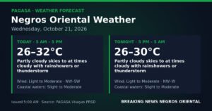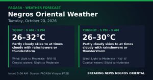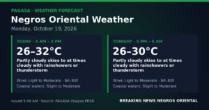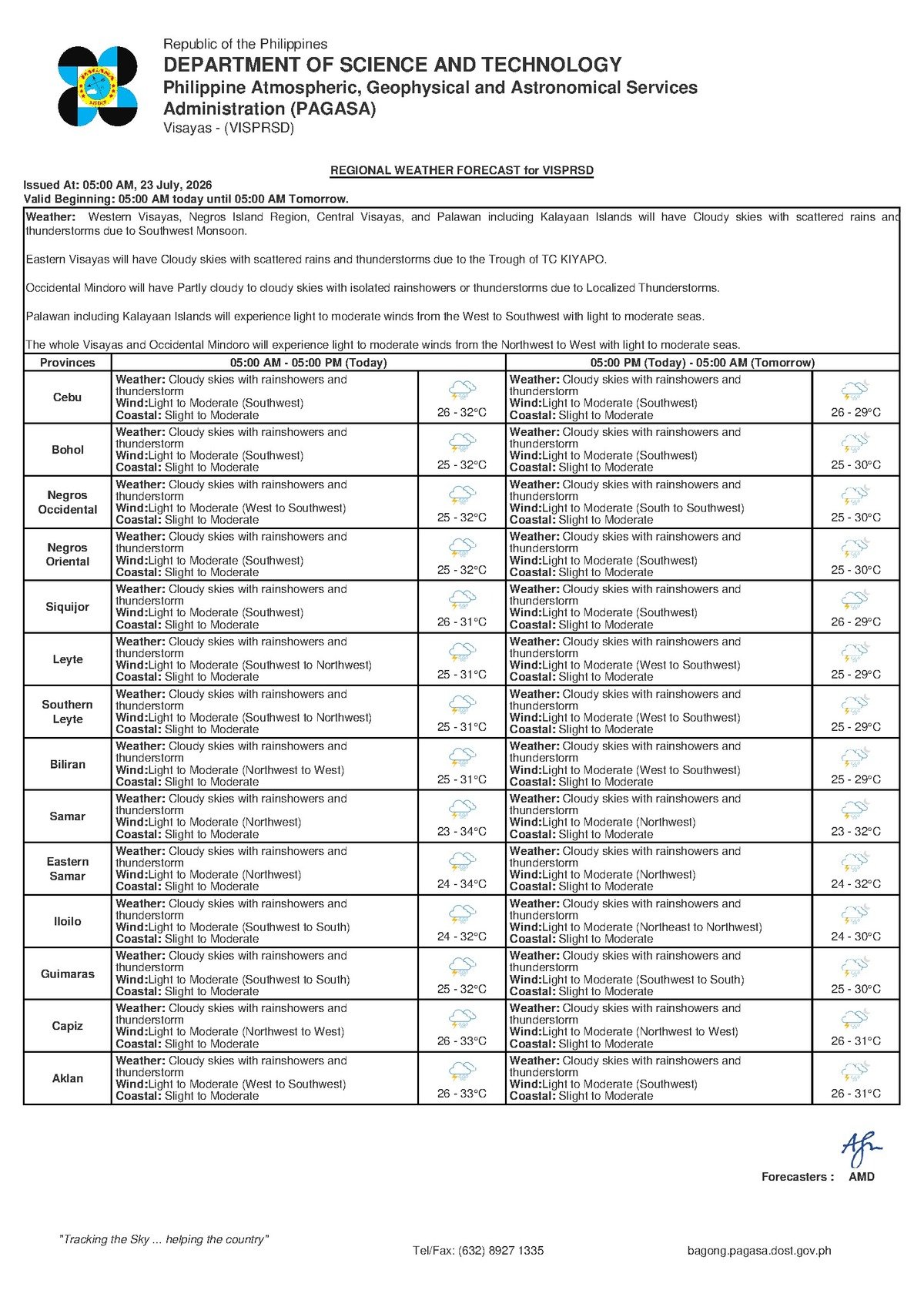
Residents of Negros Oriental and the wider Visayas region are waking up to unsettled weather on Thursday, July 23, 2026, as the southwest monsoon — locally known as the habagat — continues to push moisture-laden air across the Philippine archipelago. The Philippine Atmospheric, Geophysical and Astronomical Services Administration (PAGASA) issued its regional forecast at 5:00 AM today, warning of cloudy skies, rainshowers, and thunderstorms that are expected to persist throughout the day and disrupt activities both on land and at sea.
PAGASA’s Forecast for the Visayas
According to PAGASA’s 5:00 AM bulletin, the entire Visayas region — spanning Negros Oriental, Siquijor, Cebu, and neighboring provinces — is under a forecast of cloudy skies with rainshowers and thunderstorms for Thursday. This is not a forecast of ordinary drizzle. Thunderstorms, as PAGASA describes them, bring with them the potential for heavy and sudden downpours, dangerous lightning strikes, and brief but powerful wind gusts that can develop with little advance notice.
Daytime temperatures across the region will range between 26 degrees Celsius and 32 degrees Celsius. Although the upper end of that range remains warm, persistent cloud cover combined with rain will make conditions feel considerably cooler and more humid on the ground. PAGASA reports that winds are coming from the southwest at light to moderate speeds, and coastal water conditions have been classified as slight to moderate.
The Habagat: What Is Driving the Rain
The southwest monsoon, or habagat, is the meteorological engine behind today’s wet conditions across Negros Oriental and the rest of the Visayas. As PAGASA explains in its seasonal advisories, the habagat is a recurring mid-year wind system that draws warm, moisture-rich air in from the southwest and pushes it across the Philippine island chain. As this air mass rises over land and water, it forms dense cloud cover, triggers rainshowers, and — most intensely during the afternoon and early evening hours — generates thunderstorms.
The habagat is a predictable and natural part of the Philippine climate calendar, but it carries real hazards. It can sustain prolonged wet and overcast conditions for weeks at a time, gradually raise sea wave heights, and create the atmospheric instability that makes afternoon thunderstorms a near-daily occurrence during the monsoon season. PAGASA notes that the southwest winds confirmed in today’s forecast are a clear indicator of the habagat’s active influence over the region.
Coastal Conditions and What They Mean
PAGASA has classified coastal waters across the Visayas as slight to moderate for Thursday. In practical terms, this means sea waves are present and noticeable but have not yet reached dangerous or gale-force levels. For large commercial vessels and fast-craft ferry services on established inter-island routes, these conditions generally fall within acceptable operating limits — though PAGASA cautions that sea conditions can deteriorate rapidly when thunderstorms pass over an area.
For small outrigger boats, or bancas, the risk picture is more serious. PAGASA’s guidance consistently flags the combination of southwest winds, slight to moderate seas, and active thunderstorm development as a genuine hazard for small watercraft operators. Fisherfolk working out of coastal communities in Dumaguete, Bayawan, Bais, Tanjay, Bindoy, Guihulngan, Ayungon, and barangays along the Tañon Strait between Negros and Cebu face particular exposure. Waves and sudden gusts during a developing storm can quickly exceed what a small banca can safely handle, and PAGASA urges these operators to exercise caution and return to shore well before afternoon peak thunderstorm hours.
Impact on Sea Travel and Ferry Routes
Passengers intending to travel by sea on Thursday — whether on the Dumaguete–Dapitan route, fast-craft services to Cebu operated by OceanJet or similar carriers, the Sibulan–Liloan ferry crossing, or connections between Siquijor and Dumaguete — are advised to coordinate with their ferry operators before proceeding to the port. While slight to moderate coastal conditions do not automatically result in voyage cancellations, PAGASA notes that departures may be suspended or delayed if a thunderstorm develops along a scheduled route. Conditions can shift within a matter of hours, and checking for updates closer to departure time is strongly recommended.
Guidance for Farmers and Agricultural Workers
For farmers tending rice, sugarcane, and vegetable crops in interior municipalities of Negros Oriental — including La Libertad, Jimalalud, Manjuyod, Valencia, and Pamplona — Thursday’s rainfall presents a mixed picture, according to the weather information provided by PAGASA. While rainfall during the growing season supplies needed soil moisture, thunderstorm-driven downpours can accelerate soil erosion on sloped and upland farmland, and intense rain events can lodge, or physically flatten, maturing rice crops. Agricultural workers are advised to avoid open fields during active lightning and to inspect and clear drainage channels before heavy rain arrives.
Safety Reminders for Commuters, Students, and Outdoor Workers
PAGASA’s forecast has practical consequences for daily routines across the province. Motorcycle riders, tricycle drivers, and habal-habal operators face slick and potentially dangerous road conditions throughout the day, particularly on mountain roads connecting Dumaguete to Valencia and along provincial highways. Outdoor construction workers and individuals working at height are advised to stop operations upon hearing thunder, as lightning poses a serious risk to anyone on elevated platforms or near metal structures. Pedestrians and market vendors should carry rain gear at all times.
For school-going children and their parents, PAGASA’s forecast signals the need to prepare for wet conditions throughout the day. Afternoon periods carry the highest risk of thunderstorm disruption. Schools located in low-lying or flood-prone areas, or near riverbanks, should closely monitor developing ground conditions. While PAGASA has not issued a specific warning that would automatically trigger class suspensions, local government officials retain the authority to act on observed conditions in their areas. Children should remain indoors whenever lightning is visible or thunder can be heard.
Extended Outlook: Wet Conditions Through the Week
According to PAGASA’s extended weather outlook, issued at 9:00 AM on Wednesday, July 22, 2026, no significant improvement in weather conditions is expected through the remainder of the week. Wednesday’s conditions — which have already passed — mirrored Thursday’s pattern, with the same temperature range of 26°C to 32°C and light to moderate west-to-southwest winds. Thursday continues that pattern with southwest winds driving the same cloudy and stormy forecast. Friday is projected to follow the same trend, with PAGASA noting a slightly lower minimum temperature of 25°C but retaining the same overcast, rainy, and thunderstorm-prone outlook.
PAGASA advises residents to continue monitoring official weather bulletins, as monsoon-season forecasts can shift with the development of new weather systems in the region.
By the Numbers
- 26°C — forecast daytime low temperature for Negros Oriental and the Visayas on July 23
- 32°C — forecast daytime high temperature for the region
- 25°C — projected minimum temperature for Friday, July 25
- 5:00 AM — time of PAGASA’s regional forecast bulletin for July 23
- 9:00 AM, July 22 — time of PAGASA’s extended weather outlook covering the rest of the week
Why This Matters
The PAGASA forecast of thunderstorms, rainshowers, and cloudy skies across Negros Oriental and the Visayas on July 23 carries direct safety implications for the thousands of fisherfolk, ferry passengers, farmers, students, and commuters who depend on outdoor conditions for their daily lives and livelihoods. Thunderstorms bring lightning, flash flooding risk, and sudden sea condition changes that can turn manageable situations dangerous within minutes. With PAGASA’s extended outlook showing no relief through at least Friday, the sustained habagat weather pattern underscores the importance of continuous monitoring and timely precautionary action across the region.
Source: Breaking News Negros Oriental (breakingnewsnegrosoriental.com)