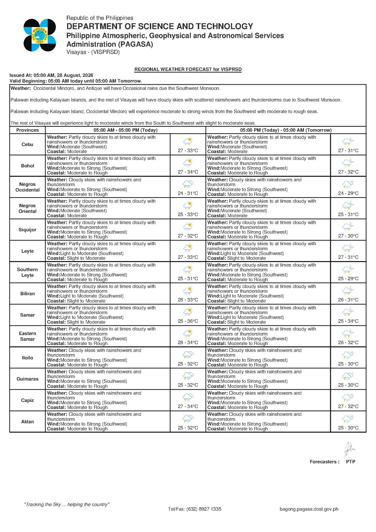
DUMAGUETE CITY, Negros Oriental — August 28, 2026 — The southwest monsoon, locally known as habagat, is keeping skies unsettled across Negros Oriental this Friday, with thunderstorms and rainshowers possible at any hour of the day. The Philippine Atmospheric, Geophysical and Astronomical Services Administration (PAGASA) released its regional forecast at 5:00 AM today, alerting communities from Dumaguete to Guihulngan — and across the Tañon Strait to Siquijor — to prepare for shifting weather conditions that could disrupt travel, fishing, and outdoor activities throughout the day.
The Force Behind Today’s Weather
PAGASA’s forecast points to the southwest monsoon as the primary driver of today’s conditions. Winds are blowing from the southwest at moderate speeds, carrying moisture-laden air across the Philippine archipelago — a pattern that is typical during the rainy season, which generally runs from June through September. As this moist air rises over land and sea, it generates clouds, rainshowers, and, when atmospheric instability intensifies, thunderstorms.
PAGASA noted that the Visayas region as a whole is under this influence today. A critical point in the agency’s forecast language — “partly cloudy to at times cloudy with rainshowers or thunderstorms” — signals that conditions can change rapidly. Storms do not wait for a fixed hour; a break in the clouds during the morning can give way to a thunderstorm within minutes, particularly during the afternoon when solar heating amplifies atmospheric instability.
Temperature, Rain, and Flooding Risk in Negros Oriental
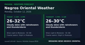
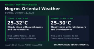
According to PAGASA, temperatures across the Visayas today will range between a low of 27°C and a high of 33°C. The combination of high humidity and afternoon thunderstorms creates conditions for localised but potentially heavy downpours. In Negros Oriental, communities in low-lying areas — particularly in Dumaguete City, Bais, Bayawan, and Guihulngan — should remain alert to the risk of localised flooding during heavy rain episodes, especially in areas near drainage channels and low-elevation streets.
Residents throughout the province are advised not to assume that morning fair weather means the rest of the day will be calm. PAGASA’s advisory covers the full day, meaning thunderstorms could develop even after a relatively clear morning.
Coastal Conditions: Moderate Today, Rougher by Saturday
PAGASA classifies coastal sea conditions as moderate today, driven by moderate southwest winds. The key sea lanes serving Negros Oriental — including the Dumaguete–Siquijor, Dumaguete–Cebu, and Bais–Cebu ferry routes — face wave heights that are generally manageable for larger vessels but carry real risk for small bancas and outrigger boats, particularly if sudden thunderstorms develop over open water.
Siquijor Island, which relies on sea-based connections to both Negros Oriental and Cebu, falls under the same regional weather forecast issued by PAGASA. Passengers planning to board ferry or FastCraft services — including those operated by OceanJet and other lines departing from Dumaguete Port to Cebu, Tagbilaran, or Siquijor — are strongly advised to confirm departure schedules directly with vessel operators before heading to the port, as moderate seas and the threat of thunderstorms may cause delays or cancellations for smaller, faster craft.
Weekend Forecast: Deteriorating Conditions on Saturday
PAGASA’s extended outlook, issued at 9:00 AM on Thursday, August 27, 2026, provides a clear trajectory for the coming days. Conditions are expected to worsen heading into Saturday:
- Friday, August 28: Temperatures 27°C–33°C. Moderate southwest winds. Coastal seas moderate.
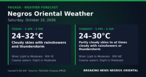
- Saturday, August 29: Temperatures 27°C–33°C. Moderate to strong southwest winds. Coastal seas moderate to rough.
The shift from “moderate” to “moderate to rough” seas is significant. PAGASA classifies rough seas as wave conditions that pose genuine hazards to small vessels and certain medium-sized craft. Anyone planning sea travel, fishing operations, or inter-island crossings on Saturday should consult PAGASA’s updated coastal advisories before departing, as the risk of disruption and danger increases substantially from Friday’s levels.
Practical Guidance by Sector
Commuters and Motorists
Rain may fall at any point throughout Friday — not only in the afternoon. Thunderstorms reduce visibility rapidly and make road surfaces slippery, posing particular hazards on mountain routes connecting Dumaguete to inland communities such as Valencia, Sibulan, and Santa Catalina. Drivers are advised to allow extra travel time, slow down during downpours, and avoid crossing flooded roadways even when water appears shallow. Moving water exerts far more force than it appears to.
Fisherfolk and Small-Boat Operators
While today’s moderate seas are navigable for larger vessels, PAGASA’s forecast carries a clear caution for small fishing boats and bancas: the combination of moderate seas and the potential for sudden thunderstorms makes open-water operations genuinely risky. Small-boat operators are strongly advised to stay close to shore and to avoid being on open water if a storm develops. For Saturday, PAGASA’s warning of moderate to strong winds and moderate to rough seas raises the risk level further — fishing trips planned for that day should be reconsidered or closely monitored against updated advisories.
Farmers and Agricultural Workers
Rainfall during habagat season can benefit crops in active growth phases, but the risks require active management. Farmers in the lowland agricultural zones of Bayawan, Pamplona, and Guihulngan should ensure drainage in their plots is clear to prevent waterlogging — a particular concern for root crops and vegetables. Strong winds accompanying thunderstorms can also damage tall crops including corn and bananas. Loose farm structures and equipment should be secured before the afternoon hours when thunderstorms are most likely to develop.
Students, Parents, and Schools
Parents and guardians sending children to school today should pack rain gear — umbrellas, raincoats, and waterproof bags at minimum. Students who commute by motorcycle or bicycle are especially vulnerable in heavy rain; seeking shelter until a storm passes is safer than continuing through a downpour. Schools and local government units are advised to monitor PAGASA’s updates throughout the day and activate standard protocols if severe thunderstorm warnings are issued for their area.
Outdoor Workers and Event Organisers
Construction workers, road crews, and others working in exposed outdoor settings should have lightning safety procedures in place. If lightning is observed or thunder is heard, PAGASA and standard safety protocols recommend immediately moving to a sturdy enclosed structure or hard-roofed vehicle and waiting at least 30 minutes after the last thunderclap before resuming outdoor work. Organisers of outdoor events in Dumaguete or elsewhere in the province this Friday should have contingency plans ready and keep a close watch on changing sky conditions throughout the day.
Inter-Island Ferry Passengers
Passengers booked on departures from Dumaguete Port — whether bound for Cebu, Tagbilaran, or Siquijor — should call ferry operators, including OceanJet, to verify vessel status before travelling to the terminal. Moderate seas today can still affect schedules for smaller, faster craft. For Saturday bookings, the probability of delays or cancellations rises in line with PAGASA’s forecast of moderate to rough seas and moderate to strong winds.
By the Numbers
- 5:00 AM — Time PAGASA issued its regional weather forecast for Friday
- 27°C — Forecast low temperature across the Visayas today
- 33°C — Forecast high temperature across the Visayas today
- 9:00 AM, August 27, 2026 — Time PAGASA issued its extended multi-day weather outlook
- 30 minutes — Recommended waiting period after the last thunderclap before resuming outdoor activity
Why This Matters
The combination of thunderstorms and deteriorating coastal conditions poses real safety risks to communities across Negros Oriental and the wider Visayas — particularly for fisherfolk operating small vessels, commuters on mountain roads, and passengers relying on inter-island ferry services. PAGASA’s forecast that seas will escalate from moderate to moderate-to-rough by Saturday means the window for safe sea travel is narrowing, requiring prompt action from anyone planning weekend crossings. Awareness of the habagat’s unpredictable nature — and timely monitoring of PAGASA advisories — remains the most effective tool available to residents and workers in managing these risks.
Source: Breaking News Negros Oriental (breakingnewsnegrosoriental.com)