DUMAGUETE CITY, Negros Oriental — An unsettled Saturday lies ahead for communities throughout Negros Oriental, with weather authorities warning of intermittent rainshowers, possible thunderstorms, and choppy coastal waters that could complicate sea travel and outdoor activities for the day.
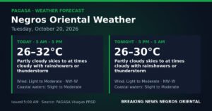
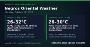
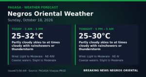
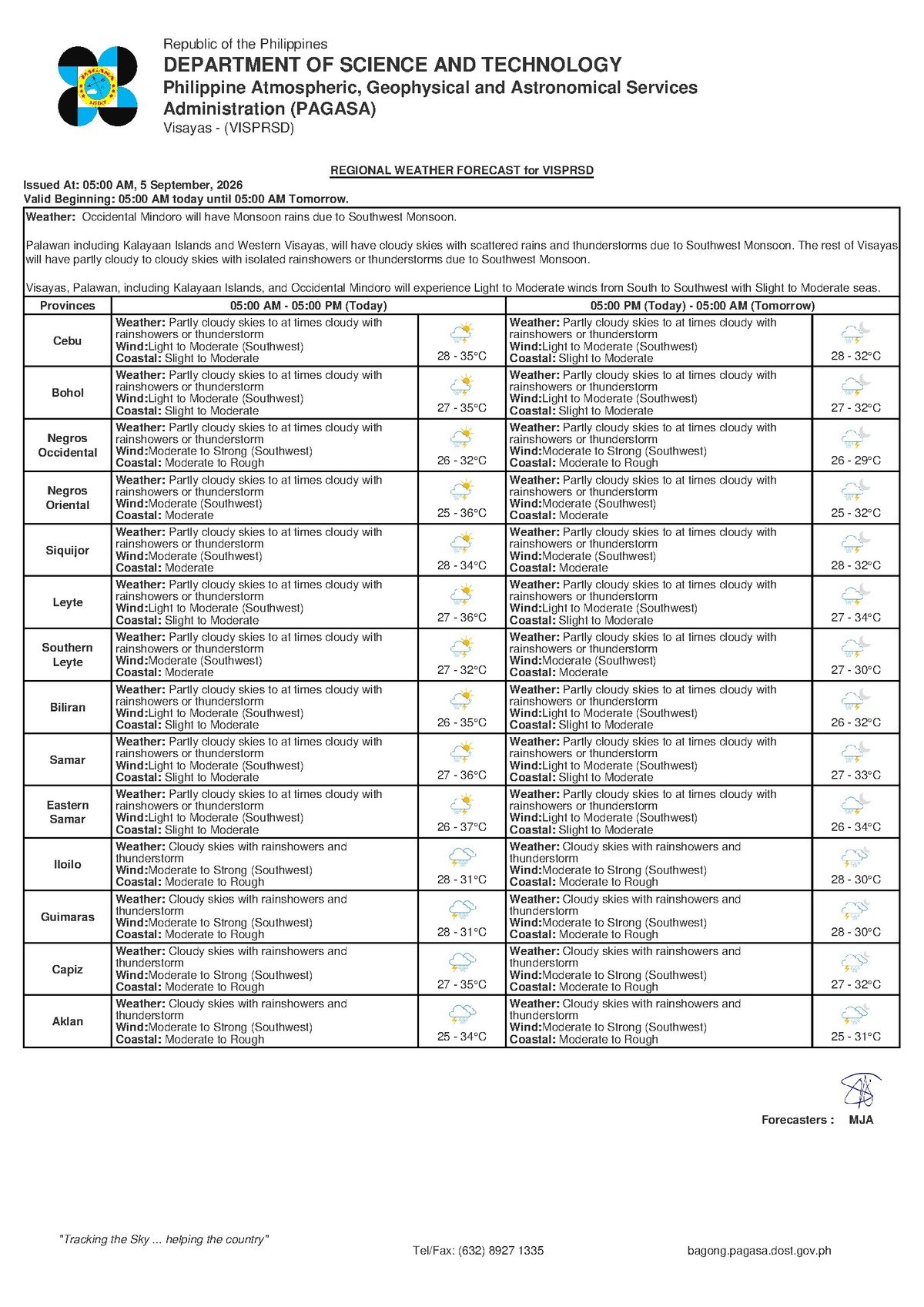
The Philippine Atmospheric, Geophysical and Astronomical Services Administration (PAGASA) issued its Visayas Regional Forecast at 5:00 AM on Saturday, September 5, 2026, placing the entire Visayas region — Negros Oriental included — under a forecast of partly cloudy to at times overcast skies, with rainshowers and thunderstorms expected at various points throughout the day. According to PAGASA, prevailing winds are blowing in from the southwest at light to moderate speeds, while coastal waters are currently experiencing slight to moderate conditions.
What Is Behind Today’s Weather Pattern
PAGASA identified southwest winds as the primary driver of today’s unsettled conditions across the Visayas. These winds, arriving from the southwest, carry moisture-laden air from the surrounding seas into the region. As that moist air rises and cools over land, it generates the scattered showers and thunderstorms being forecast for today.
Importantly, PAGASA’s issued forecast for this date does not attribute conditions to any named weather system — no tropical cyclone or low-pressure area has been cited as the cause. The current pattern is being driven entirely by the seasonal southwest monsoon, locally known as habagat, which typically dominates weather from June through October across the Philippine archipelago. This kind of setup, according to PAGASA, is characteristic of early September — a period when thunderstorms can develop quickly even when mornings start out only partly cloudy.
Forecast Conditions Across Negros Oriental and Siquijor
Communities throughout Negros Oriental — including Dumaguete City, Bayawan, Bais, Guihulngan, Tanjay, and the municipalities of the provincial interior — can realistically expect rainshowers at irregular intervals throughout the day, along with the heightened possibility of localized thunderstorms. PAGASA warns that these thunderstorms can bring intense short-duration downpours, gusty winds, and lightning, often developing with little advance warning.
Siquijor, the island province located southeast of Negros Oriental, falls under the same Visayas regional forecast. Residents there should also anticipate intermittent cloud cover, scattered showers, and the chance of thunderstorms during the day.
For the broader Visayas region — spanning Cebu and the inter-island sea lanes — PAGASA describes coastal conditions as slight to moderate, with temperatures expected to range between a low of 28°C and a high of 35°C on Saturday.
What the Weekend Outlook Shows
PAGASA’s Extended Weather Outlook, which was issued at 9:00 AM on September 4, 2026, indicates that the current pattern of cloudiness, rain, and moderate coastal conditions is expected to persist through Sunday. According to the extended outlook, temperatures over the weekend are projected to range from 27°C to 34°C — a marginal drop from Saturday’s peak — suggesting only modest change in overall conditions.
Residents and travelers with plans for Sunday should not expect any significant improvement in weather. PAGASA’s outlook projects that moderate coastal conditions and southwest winds will remain in place through at least the end of the weekend.
By the Numbers
- Forecast issued at 5:00 AM, Saturday, September 5, 2026
- Saturday temperature range: 28°C (low) to 35°C (high)
- Weekend temperature range: 27°C (low) to 34°C (high)
- Extended outlook issued at 9:00 AM, September 4, 2026
Understanding Coastal Condition Levels
PAGASA’s use of specific coastal condition classifications carries practical meaning for anyone planning to be on or near the water. The agency describes Saturday’s conditions as “slight to moderate,” with the weekend extended outlook calling for “moderate” conditions to persist.
Slight to Moderate: Sea waves are relatively small to medium in height. Large commercial vessels can generally operate safely, but smaller watercraft — including fishing boats, motorized bancas, and pump boats — may face uncomfortable or potentially unsafe conditions. Unpredictable swells and chop are especially dangerous when gusty winds from nearby thunderstorms are also present.
Moderate (Weekend Forecast): Wave heights increase noticeably, and sea activity becomes more pronounced. According to PAGASA, open-water crossings in these conditions — such as those across the Bohol Sea or the Cebu Strait — become increasingly hazardous for small vessels. PAGASA advises all mariners and fisherfolk to monitor updated advisories and exercise appropriate caution before setting out.
Guidance for Key Sectors
Ferry Passengers and Inter-Island Travelers
Those planning to cross between Dumaguete and Siquijor, or between Dumaguete and Cebu on fast-craft services such as OceanJet, are strongly advised to confirm vessel schedules directly with their ferry operators before proceeding to the port. PAGASA’s moderate coastal condition forecast raises the realistic possibility of delays, rerouting, or outright cancellations — especially for fast-craft ferries, which are more susceptible to wave height than larger roll-on/roll-off vessels. Travelers with children, elderly companions, or those prone to seasickness should carefully consider whether today’s crossing is necessary.
Fisherfolk and Small-Boat Operators
Fishing communities along the Negros Oriental coastline — from Zamboanguita and Dauin in the south to the waters off Bindoy and Ayungon in the north — face a day that calls for careful judgment. PAGASA warns that conditions can deteriorate rapidly once afternoon or evening thunderstorms develop. Small-boat operators are advised to stay close to shore and to return to port well ahead of any visible storm activity. Waiting until rain begins before turning back, the agency cautions, may be too late.
Farmers and Agricultural Workers
In the vegetable-growing highlands of Negros Oriental — including Valencia, Sibulan, and the slopes of interior municipalities — scattered showers may provide welcome irrigation for field crops. However, PAGASA’s warning of possible localized heavy rainfall from thunderstorms means that drainage conditions and flood exposure need close monitoring, particularly in areas where soils have already been saturated by recent rainfall. Workers engaged in drying harvested grain or other sun-dependent activities should prepare covered storage ahead of time and avoid leaving produce exposed outdoors.
Students, Families, and School Commuters
Families whose children commute to school — especially those who travel on foot, by motorcycle, or in open tricycles — are advised to prepare rain gear for today. PAGASA notes that convective thunderstorms in the Visayas most commonly develop during the mid-to-late afternoon during this season, which coincides with typical school dismissal hours. School administrators and event organizers should ensure contingency plans are in place for any outdoor activities or gatherings scheduled for this afternoon.
Outdoor Workers and Event Organizers
Construction workers, road crews, and others engaged in outdoor work across Negros Oriental should remain alert to the lightning risk that accompanies thunderstorms in this season. PAGASA’s standard advisory applies: if thunder is heard or lightning is observed, work should stop immediately and workers should seek shelter inside a sturdy, fully enclosed structure — not under trees or open-sided shelters. Organizers of community events, outdoor sports activities, or gatherings should have indoor alternatives ready and be prepared to suspend activities at short notice if storm conditions develop.
Why This Matters
The combination of scattered thunderstorms and slight-to-moderate coastal conditions forecast by PAGASA poses concrete risks for inter-island ferry passengers, small-boat operators, and fisherfolk across Negros Oriental and the wider Visayas region. With moderate coastal conditions projected to persist through Sunday, according to PAGASA’s extended outlook, those risks will not ease significantly over the weekend. Residents and travelers across multiple sectors — from maritime workers to school commuters — need to factor today’s forecast into their plans and monitor updated PAGASA advisories as conditions evolve.
Source: breakingnewsnegrosoriental.com / PAGASA Visayas Regional Forecast and Extended Weather Outlook, September 4–5, 2026