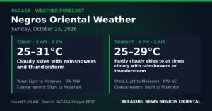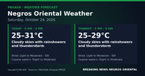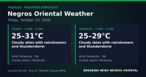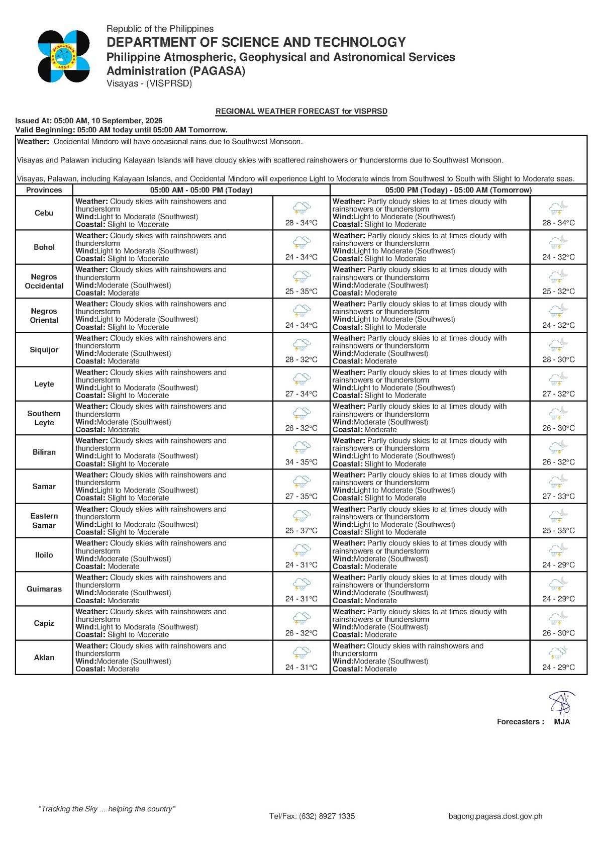
DUMAGUETE CITY, Negros Oriental — September 10, 2026 — The southwest monsoon continues to assert its dominance over the Visayas, with the Philippine Atmospheric, Geophysical and Astronomical Services Administration (PAGASA) issuing an early-morning forecast that calls for overcast skies, rainshowers, and the likelihood of thunderstorms across Negros Oriental and surrounding areas throughout the day. The bulletin was released at 5:00 AM Thursday, covering the province and several adjacent areas including the island of Siquijor.
The weather system is being driven by the habagat — the seasonal southwest monsoon that typically holds sway over the Philippine archipelago from June through September. According to PAGASA, the warm, moisture-heavy air drawn in from the West Philippine Sea and adjacent waters to the southwest moves over the land and is forced upward by the terrain of Negros island, including its interior mountain ranges. That orographic lift cools the air mass and triggers the rainfall and thunderstorm activity currently affecting the region.
By the Numbers
- Forecast issued: 5:00 AM, Thursday, September 10, 2026
- Thursday temperature range: 28°C to 34°C
- Friday temperature range: 28°C to 35°C
- Slight seas: wave heights approximately 0.5 m to 1 m
- Moderate seas: wave heights up to 1 to 2 metres
- Extended outlook issued: 9:00 AM, Wednesday, September 9, 2026
Areas Covered by the Forecast
PAGASA’s bulletin covers a broad swath of Negros Oriental, from Dumaguete City — the provincial capital — northward through Bais and Guihulngan, and southward along the coast through Bayawan. Coastal barangays lining the Tañon Strait fall within the warning area, as does the island province of Siquijor, which relies primarily on inter-island ferry connections to Dumaguete for supply chains and passenger travel.
The state weather bureau described conditions for the Visayas as a whole as similarly unsettled, with Thursday expected to bring recurring bouts of rain and thunder across the region. There is no formal gale warning posted for Negros Oriental’s coastal waters under the current bulletin, PAGASA noted, but this does not diminish the risks posed by sudden squalls accompanying thunderstorm activity.
Thursday and Friday Weather Outlook
According to the extended forecast released by PAGASA at 9:00 AM on Wednesday, September 9, 2026, conditions for Thursday and Friday are as follows:
- Thursday: Temperatures between 28°C and 34°C. Winds light to moderate, blowing from the southwest. Coastal seas classified as slight to moderate.
- Friday: Temperatures between 28°C and 35°C. Winds moderate in strength, beginning to shift from southwest toward the west. Coastal seas expected to reach moderate conditions.
The PAGASA extended outlook indicates that Friday will see a marginal increase in wind intensity and a slight deterioration in coastal sea state compared to Thursday. Residents and operators who depend on sea routes should treat the approaching weekend as a period requiring closer monitoring.
What “Slight to Moderate” Coastal Seas Mean in Practice
For those unfamiliar with PAGASA’s sea-state classification, the state weather bureau defines “slight” seas as waves generally in the range of half a metre to one metre in height. “Moderate” seas can reach between one and two metres. In practical terms, these conditions are generally manageable for larger commercial vessels — such as the fastcraft and roll-on/roll-off ferries operated by lines like OceanJet and Montenegro Lines on routes connecting Dumaguete to Cebu, Bohol, and Siquijor — but they present real hazards to small, open fishing boats and outrigger bancas.
Passengers planning to use inter-island ferry services on Thursday are advised by maritime safety guidance to confirm departure status directly with their shipping line before heading to the port. Operators routinely adjust or cancel sailings when weather deteriorates, and a thunderstorm moving through during a crossing can rapidly worsen sea conditions beyond initial forecasts.
Guidance for Specific Sectors and Groups
Fisherfolk and Coastal Communities
Fishing households along the Tañon Strait coast — spanning the stretch from Guihulngan and Bais in the north through Dumaguete and down to Bayawan — should exercise heightened caution on Thursday. While PAGASA has not posted a formal gale warning for the immediate area, the combination of slight-to-moderate seas and the potential for embedded thunderstorms means conditions can deteriorate quickly and without extended warning. Small boat operators are strongly encouraged to watch the sky for darkening clouds and to head back to shore well before any approaching rain line reaches them.
Farmers and Agricultural Workers
For those working sugarcane, corn, and vegetable fields across Negros Oriental — particularly in upland and interior municipalities — the recurring rainfall presents both an opportunity and a hazard. While soil moisture may benefit ongoing crops, the threat of lightning accompanying today’s thunderstorms is a serious workplace safety concern for anyone in open fields. The PAGASA forecast recommends that those doing outdoor agricultural work schedule their heaviest field activities for the earliest hours of the morning and immediately seek sturdy shelter — not under isolated tall trees — when thunder is heard.
Motorists and Commuters
Rain-slicked roads are a consistent hazard on days like Thursday, particularly on the coastal highway passing through Dumaguete, Bacong, Dauin, Zamboanguita, and Bayawan. Drivers navigating mountain passes and upland roads within the province should be aware that prolonged or intense rainfall raises the risk of localised landslides and flash flooding in low-lying areas. Reduced visibility during heavy downpours demands lower speeds and increased following distances.
Students and Parents
Children heading to school Thursday should be equipped with rain gear and waterproof footwear. While PAGASA’s current bulletin does not describe conditions that would automatically trigger school suspensions under established weather protocols, the forecast notes that conditions can change as the day progresses. Parents and school administrators are encouraged to monitor announcements from local government units throughout the morning, especially if heavy rain with thunder develops during school hours.
Outdoor Events and Tourism Activities
Tourism operators and individuals with open-air activities planned — including diving excursions around Apo Island, island-hopping in Siquijor, or community and sports events — should have contingency plans ready. PAGASA’s forecast makes explicit that thunderstorms are possible today, and lightning poses a serious and immediate danger in open-water, beachfront, and elevated settings. Postponement or rescheduling is the prudent course if conditions are unsettled at the time of departure.
Looking Ahead: Into Friday
PAGASA’s extended weather outlook signals that Friday will not bring significant relief for those hoping for calmer conditions. Wind speeds are forecast to increase from the light-to-moderate range on Thursday to moderate on Friday, and coastal seas are expected to reach fully moderate conditions — a step up from Thursday’s slight-to-moderate classification. The slight upward drift in the temperature ceiling to 35°C on Friday adds to the humid and uncomfortable feel of the weather pattern as the week ends.
Residents, businesses, and maritime operators dependent on sea access to Siquijor or other inter-island routes should watch Friday’s conditions closely as they develop, particularly if Thursday’s storms prove more intense than forecast.
Why This Matters
The southwest monsoon’s continued grip on Negros Oriental — a province with extensive fishing communities along the Tañon Strait coast, active inter-island ferry traffic, and large agricultural sectors — means that PAGASA’s forecast directly affects livelihoods, mobility, and personal safety across a broad population. The dual-day outlook of unsettled skies through Friday signals that disruptions to sea travel, outdoor work, and daily commuting are likely to persist beyond a single day. With coastal sea states forecast to worsen marginally on Friday, operators and residents have a narrow window to make informed decisions about travel and field activities before conditions tighten further.
Source: breakingnewsnegrosoriental.com / PAGASA regional forecast bulletin, September 10, 2026