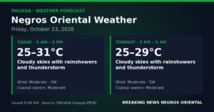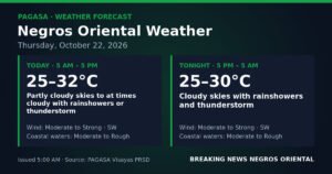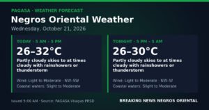
Southwest monsoon conditions will bring persistent cloud cover, scattered rain, and the threat of afternoon thunderstorms to Negros Oriental and the wider Visayas region on Tuesday, September 8, 2026 — prompting the Philippine Atmospheric, Geophysical and Astronomical Services Administration (PAGASA) to urge caution, particularly for those traveling or working at sea.
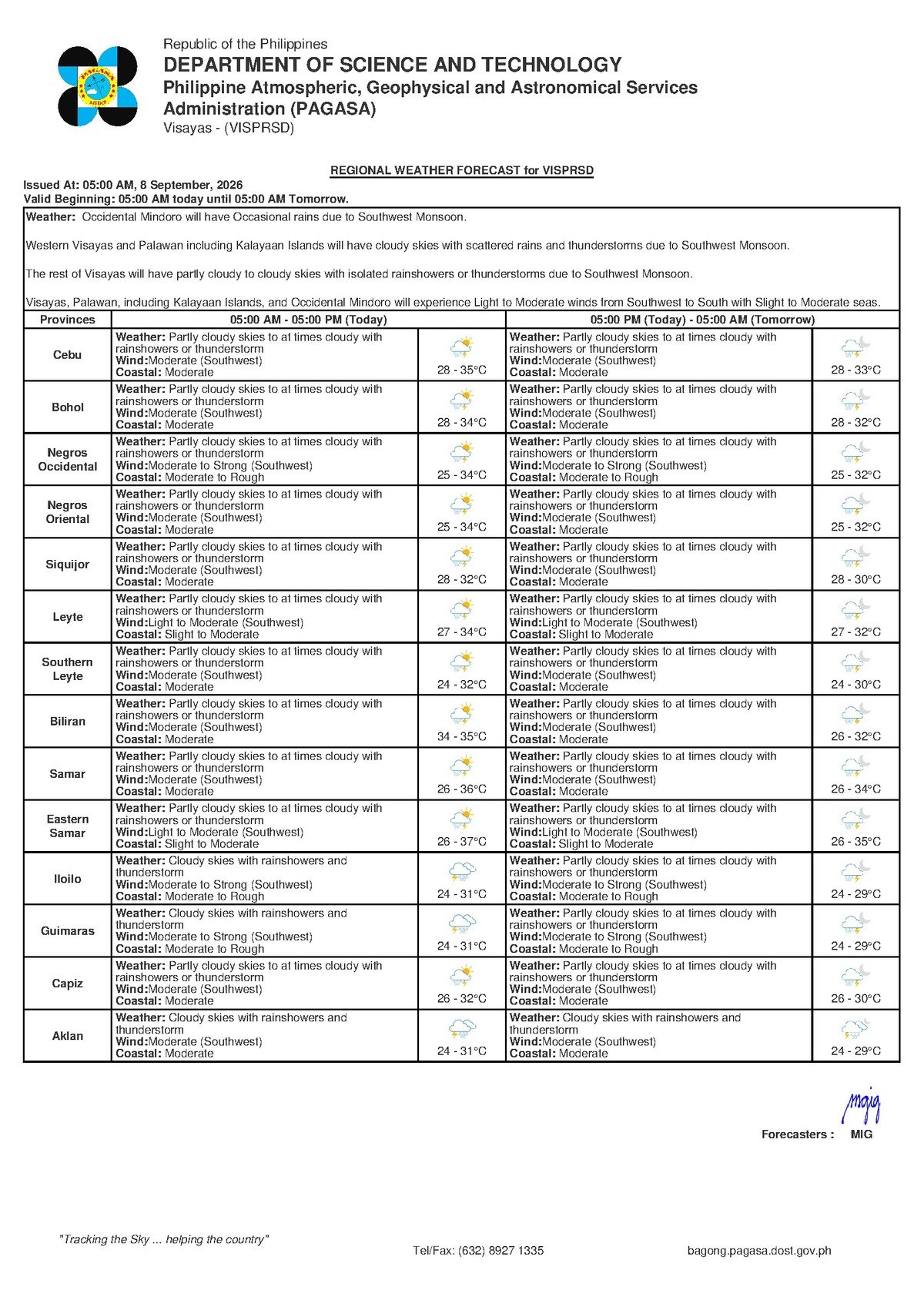
PAGASA issued its regional forecast at 5:00 AM on September 7, 2026, covering the entire Visayas. The agency’s bulletin indicates skies will range from partly cloudy to overcast throughout the day, with rainshowers developing at various intervals and thunderstorms possible — especially during the afternoon hours when convective activity tends to peak under habagat conditions.
The Southwest Monsoon at Work
The weather pattern driving Tuesday’s forecast is the habagat, or southwest monsoon — a dominant seasonal system that typically influences Philippine weather from June through September. According to PAGASA’s forecast data, winds across the Visayas are blowing from the southwest at moderate strength. The habagat pulls warm, moisture-rich air inland from the sea, producing the cycle of cloudiness, recurring showers, and sudden convective storms that residents of Negros Oriental and neighboring islands are familiar with at this time of year.
Unlike a single storm event, this system does not confine its rain to one part of the day. PAGASA’s bulletin makes clear that showers can develop and redevelop throughout Tuesday, with thunderstorms capable of forming with limited warning — particularly in the afternoon and early evening. Strong, gusty winds often accompany these thunderstorms, adding to the risk for those outdoors or at sea.
The extended weather outlook, also issued by PAGASA at 9:00 AM on September 7, 2026, confirms that the same pattern is expected to hold at least through Wednesday, September 10. Moderate southwest winds and similar shower activity are forecast to continue, with winds anticipated to ease slightly to light-to-moderate by Wednesday — though rainfall and clouds will remain.
By the Numbers
- Forecast issued: 5:00 AM, September 7, 2026 (PAGASA morning bulletin)
- Extended outlook issued: 9:00 AM, September 7, 2026
- Temperature range: 28°C to 35°C throughout the forecast period
- Pattern expected to persist through at least Wednesday, September 10, 2026
- Coastal conditions rated: Moderate (elevated wave heights for small watercraft)
Conditions Across Negros Oriental and Neighboring Areas
PAGASA’s forecast applies across the province, with Dumaguete City — the provincial capital — set to experience the classic habagat cycle: warm and humid mornings that yield to growing cloud cover and an increased probability of showers or a thunderstorm by midday and into the afternoon. The same forecast covers Bayawan City in the south, the agricultural lowlands around Bais City, and Guihulngan City in the northern section of the province.
Conditions on the island of Siquijor, situated just across a short stretch of water from southern Negros Oriental, are effectively identical — partly cloudy to cloudy with rainshowers and possible thunderstorms. Across the Tañon Strait, Cebu faces the same outlook. PAGASA notes that coastal waters are classified as moderate, which has direct implications for sea travel on routes connecting Dumaguete to Cebu, Siquijor, and Tagbilaran in Bohol.
What Moderate Coastal Conditions Mean for Sea Travel
A “moderate” coastal conditions rating from PAGASA indicates wave heights sufficient to make passage uncomfortable and potentially unsafe for smaller watercraft — including outrigger bancas and underpowered motorized boats. This designation falls short of a formal gale warning, which PAGASA has not issued for this forecast period, but it nonetheless demands prudent decision-making from anyone heading out to sea.
Passengers booked on inter-island services — including fast-craft operators such as OceanJet and SuperCat, as well as conventional ferry routes departing from Dumaguete — should verify departure schedules with their shipping lines before going to the port. PAGASA and maritime authorities advise that operators may adjust or suspend sailings if sea conditions deteriorate further during the day. Travelers are urged to follow all guidance from the Philippine Coast Guard and vessel crews.
For fisherfolk and small-boat operators along the coastline — in Dumaguete, Dauin, Sibulan, Amlan, and other coastal communities of Negros Oriental — PAGASA’s forecast calls for heightened vigilance. Moderate seas combined with the prospect of sudden thunderstorms create a compounding hazard for small craft. Fishermen are advised to assess water conditions directly before departure, remain close to shore where possible, and return to port immediately if skies darken quickly or thunder is heard.
Practical Guidance for Residents
Farmers and Agricultural Workers
The recurring wet pattern brought by the southwest monsoon presents a mixed outcome for farming in Negros Oriental. According to PAGASA’s forecast, rain is expected to continue through at least mid-week. Crops in active growth stages may benefit from the added moisture, but repeated wet days raise the risk of waterlogging and fungal disease in sugarcane and rice fields around Bais, Manjuyod, and Guihulngan. Farm operations and harvesting activities are best scheduled for morning hours, before afternoon shower activity intensifies. Farmers should monitor field drainage closely during this stretch of wet weather.
Students, Parents, and Daily Commuters
Children heading to school on Tuesday should be equipped with rain gear — at minimum, an umbrella or raincoat. Afternoon dismissal times frequently overlap with the peak window for thunderstorm development under habagat conditions. Motorcycle and tricycle riders are advised to slow down on wet roads, where reduced visibility and slippery surfaces increase the chance of accidents. Building in extra travel time before and after rain events is a practical precaution.
Outdoor Workers and Event Organizers
Construction crews, market vendors, and all workers with outdoor duties should anticipate rain interruptions on Tuesday and have contingency plans ready. Organizers of outdoor community functions, sports activities, or school events are encouraged to secure a covered backup venue or arrange a clear postponement protocol. In the event of a thunderstorm, PAGASA and safety authorities consistently advise seeking solid, enclosed shelter — not isolated trees — until the storm passes.
Outlook Through Mid-Week
PAGASA’s extended bulletin projects that residents of Negros Oriental and the broader Visayas should expect continued wet and unsettled conditions through at least Wednesday, September 10. Monday and Tuesday carry near-identical forecasts: partly cloudy to cloudy skies, recurring rainshowers, possible thunderstorms, moderate southwest winds, moderate coastal seas, and temperatures between 28°C and 35°C. A marginal improvement in wind strength is anticipated by Wednesday, according to PAGASA, but the temperature range and shower probability will remain largely unchanged. Residents are advised to plan for sustained wet weather through at least the middle of the week.
The agency’s clearest advisory for Tuesday remains focused on sea safety: anyone planning to travel by inter-island vessel or head out on a small boat should confirm conditions and schedules before departure, given moderate coastal waters and the real possibility of sudden thunderstorm development.
Why This Matters
The southwest monsoon forecast issued by PAGASA for September 8, 2026 carries practical consequences for a wide range of daily activities across Negros Oriental and the Visayas — from maritime transport and fishing to agriculture, schooling, and outdoor work. Moderate coastal conditions combined with thunderstorm potential create compounding hazards for small-vessel operators and inter-island ferry passengers on routes connecting Dumaguete to Cebu, Siquijor, and Bohol. With the same pattern forecast to persist through at least Wednesday, residents and workers across the province face several consecutive days of weather-related disruption that requires ongoing awareness and preparation.
Source: PAGASA / breakingnewsnegrosoriental.com