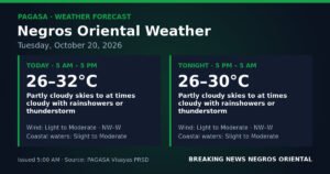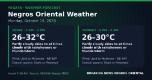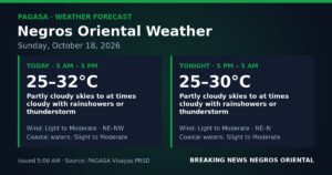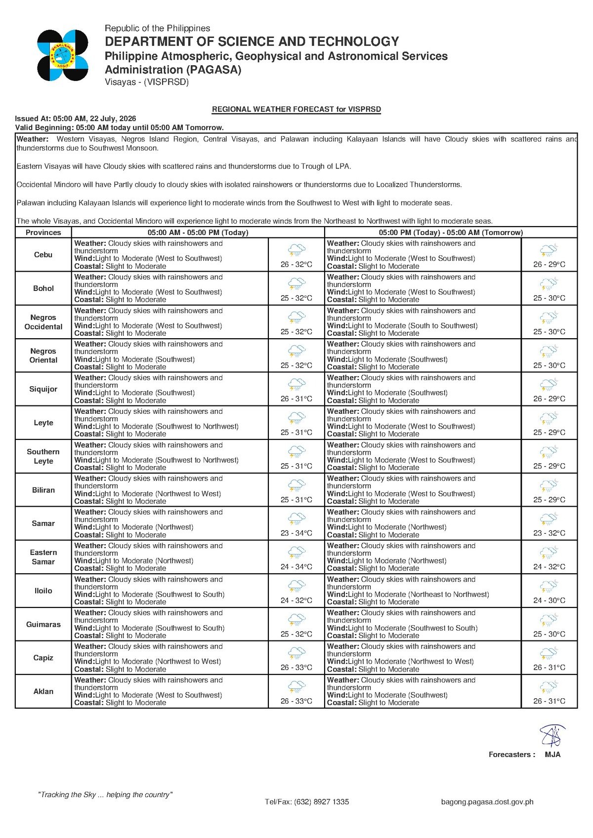
DUMAGUETE CITY, Negros Oriental — July 22, 2026: The southwest monsoon, locally called habagat, is pushing unsettled and potentially hazardous weather across Negros Oriental, Siquijor, and the broader Visayas region today. The Philippine Atmospheric, Geophysical and Astronomical Services Administration (PAGASA) released its regional forecast at 5:00 AM on July 22, 2026, calling for cloudy skies, intermittent rainshowers, and thunderstorms from morning through evening — a pattern that poses real risks across multiple sectors, from fishing communities along the Tañon Strait and Bohol Sea to commuters relying on inter-island ferry routes.
The Weather Driver: Southwest Monsoon
According to PAGASA, winds across the Visayas are blowing from the west to southwest at light to moderate speeds — a textbook signature of the habagat season, which typically runs from June through September each year. As moisture-laden air from the warm seas west and south of the Philippine archipelago rises over land and sea, it condenses into clouds and triggers rainshowers and thunderstorms. PAGASA emphasized that the absence of a named tropical cyclone does not make these conditions benign. The habagat alone can produce sustained multi-day rainfall and locally intense downpours capable of causing rapid flooding in low-lying areas.
PAGASA’s extended weather outlook, issued at 9:00 AM on July 21, 2026, confirms that this monsoon-driven setup will persist at least through Thursday, July 24. Wednesday’s detailed forecast calls for temperatures ranging from 26°C to 33°C, southwest winds, and slight to moderate coastal conditions. Thursday is expected to mirror these conditions closely, with temperatures of 26°C to 32°C and continued light winds from the southwest.
By the Numbers
- Forecast temperature range (Wednesday): 26°C to 33°C
- Forecast temperature range (Thursday): 26°C to 32°C
- PAGASA forecast issued: 5:00 AM, July 22, 2026
- Extended outlook issued: 9:00 AM, July 21, 2026
- Forecast valid through: Thursday, July 24, 2026
- Estimated wave heights under “slight to moderate” seas: 0.5 to 2.5 meters
Local Conditions Across the Province and Nearby Areas
In Dumaguete City, the provincial capital, residents should expect alternating periods of light showers and heavier downpours, particularly during thunderstorm episodes. Barangays situated in low-lying terrain or near creek channels are advised to monitor water levels closely. Even monsoon-driven storms — without any cyclone involvement — can generate rapid localized flooding when rainfall intensifies over a short period.
Communities in Bayawan City and Bais City, to the south and north of the province respectively, face comparable risks for their coastal zones and agricultural lands. Upland and interior areas, including the farm regions of Guihulngan City and the mountainous municipalities of northern Negros Oriental, can expect cloud cover and persistent rain as southwest winds force moisture up the terrain. The island province of Siquijor, positioned fully in the path of west-to-southwest winds, will experience equally unsettled conditions throughout the day. Across the Cebu Strait, the same regional forecast applies to Cebu, meaning the weather corridor between Negros Oriental and Cebu is also under the same advisory.
Understanding the Forecast: Plain-Language Breakdown
PAGASA’s forecast language carries specific meanings worth unpacking for practical decision-making:
“Slight to moderate” coastal conditions refer to wave heights of approximately 0.5 to 2.5 meters. While this threshold does not automatically activate a formal gale warning, it is not open-water calm either. Small outrigger bancas — the vessel type used by the majority of local fisherfolk — can become difficult and dangerous to maneuver in moderate swells, especially when gusty winds accompany a passing thunderstorm cell. Conditions at sea can change with little warning.
“Light to moderate” southwest winds may feel manageable on land, but these winds can spike sharply in speed just ahead of or during an active thunderstorm, creating sudden hazards for small boat operators who are caught unprepared offshore.
“Cloudy skies with rainshowers and thunderstorms” is PAGASA’s standard phrasing for a day with intermittent rather than continuous rainfall — but it includes the possibility of thunderstorm episodes that bring heavy localized rain, lightning strikes, and sudden gusts of wind. It is not a forecast for mild drizzle.
Sector-by-Sector Guidance
Fisherfolk and Small-Boat Operators
Those operating small vessels on the Tañon Strait, Bohol Sea, and the waters surrounding Siquijor face the highest immediate risk today. PAGASA advises small watercraft operators to avoid venturing far from shore during active thunderstorm periods. Operators should listen for any gale warning updates before departing. A missed fishing trip is a recoverable loss; a capsizing in rough waters during a thunderstorm is not.
Ferry Passengers and Inter-Island Commuters
Passengers booked on routes such as Dumaguete to Cebu, Dumaguete to Siquijor, and Bais to Cebu — serviced by carriers including OceanJet, Montenegro Lines, and other operators — should contact their shipping line before proceeding to the terminal. While larger ferries are not under any formal suspension order based on current sea conditions, shipping companies retain the discretion to cancel or delay fast craft departures when active thunderstorms are present or if conditions worsen. Commuters are advised to allow extra travel time and bring rain gear.
Farmers and Agricultural Workers
For farmers across Negros Oriental’s interior municipalities — from Valencia and Pamplona to the sugarcane and vegetable-growing zones of Guihulngan and La Libertad — intermittent monsoon rain can be beneficial during the growing season, but thunderstorms introduce real hazards. Agricultural workers should avoid open fields during lightning. Lightweight materials, harvested produce, and farm equipment should be secured against sudden strong winds or heavy rain. Drainage in low-lying plots should be inspected to prevent waterlogging.
Students, Parents, and Schools
Families with students heading to school today are advised to prepare rain gear and factor in additional travel time, as heavy showers can cause road flooding and traffic delays. School administrators should actively monitor PAGASA updates throughout the morning. A sudden escalation in rainfall intensity from a thunderstorm episode could warrant protective action. Official class suspension announcements, if any, would come from the Negros Oriental provincial government or the Department of Education.
Outdoor Workers and Event Organizers
Construction crews, road laborers, and other outdoor workers should build contingency time into their schedules, given the likelihood of thunderstorms at unpredictable points during the day. Lightning is a recognized occupational hazard, and no outdoor work should continue during an active storm. Organizers of outdoor events in Dumaguete City or elsewhere in the province should prepare backup plans or seriously consider postponing activities to later in the week when weather conditions may ease.
Extended Outlook: No Immediate Relief Through Thursday
PAGASA’s multi-day forecast offers little comfort for those hoping for a break in the wet weather. Both Wednesday and Thursday are expected to bring the same fundamental pattern: cloudy skies, southwest winds, slight to moderate coastal seas, and daytime temperatures hovering between 26°C and 33°C. Weather officials describe this as consistent with an active habagat season, and residents across the province should treat sustained wet weather as the baseline condition for the coming weeks. Practical adjustments — keeping rain gear readily available, maintaining home drainage systems, and monitoring official PAGASA bulletins for any escalation — are strongly recommended.
The state weather bureau’s advisory underscores a point that is easy to overlook during monsoon season: the absence of a typhoon name on the weather map does not mean conditions are safe to ignore. The habagat is a powerful seasonal system in its own right, and today’s forecast reflects that reality across Negros Oriental and the wider Visayas.
Why This Matters
The PAGASA forecast for July 22, 2026 highlights that the southwest monsoon — even without an accompanying tropical cyclone — is capable of producing dangerous thunderstorms, rough coastal waters, and localized flooding across Negros Oriental and the Visayas. Fisherfolk, ferry commuters, farmers, and outdoor workers all face concrete sector-specific risks that require timely precautionary action. With the unsettled pattern forecast to continue through at least Thursday, July 24, communities across the region need to treat sustained wet-weather preparedness as an ongoing priority rather than a single-day concern.
Source: Breaking News Negros Oriental (breakingnewsnegrosoriental.com)