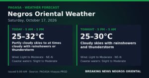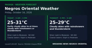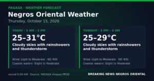
DUMAGUETE CITY, Negros Oriental — July 19, 2026 — Sunday brings unsettled weather to Negros Oriental, with the Philippine Atmospheric, Geophysical and Astronomical Services Administration (PAGASA) forecasting a mix of partly cloudy skies, rainshowers, and possible thunderstorms throughout the day. Whether you are boarding a ferry at the Dumaguete port, tending fields in Guihulngan, or simply running errands in Bayawan, the weather bureau advises the public to expect periodic wet conditions and to take appropriate precautions.
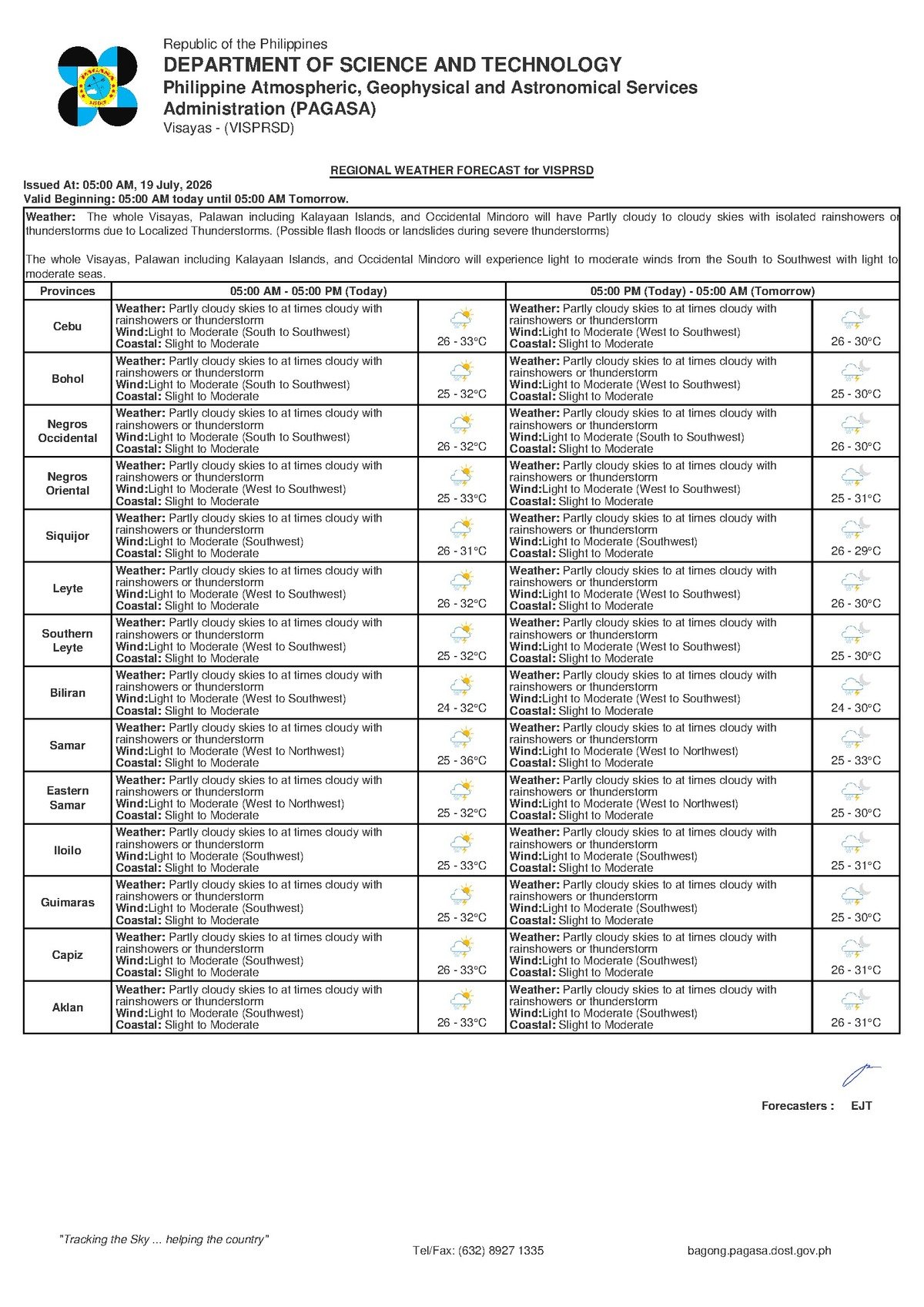
PAGASA issued its Regional Forecast for the Visayas at 5:00 AM this Sunday, and the picture it paints is one of a typically unsettled mid-July day — warm, humid, and prone to afternoon downpours. This is not a declared weather emergency, but residents and travelers would do well to carry an umbrella and keep a close eye on developing skies.
What PAGASA’s Forecast Covers
According to PAGASA’s 5:00 AM bulletin for July 19, 2026, the Visayas region can expect partly cloudy to at times cloudy skies, with rainshowers or thunderstorms occurring at various points during the day. The agency placed temperatures within a range of 26°C on the low end to 33°C on the high end — conditions that, when factored together with high humidity, will feel significantly warmer than the thermometer reading alone suggests.
Winds across the region are blowing from the south to southwest at light to moderate speeds, PAGASA reported. The weather bureau assessed coastal waters to be in a slight to moderate state — meaning sea conditions are manageable for larger commercial vessels under ordinary circumstances, but smaller open boats must exercise caution, especially when thunderstorms are nearby.
For Tuesday’s extended outlook, PAGASA shows the same temperature band of 26°C to 30°C persisting, with winds shifting marginally toward the west to southwest and coastal conditions remaining slight to moderate.
By the Numbers
- Forecast low temperature: 26°C
- Forecast high temperature: 33°C
- Tuesday outlook temperature range: 26°C–30°C
- Slight coastal wave heights: 0.5 to 1.25 meters
- Moderate coastal wave heights: 1.25 to 2.5 meters
- PAGASA bulletin issued at: 5:00 AM, July 19, 2026
The Weather Driver: Habagat Season
PAGASA’s regional bulletin does not identify a named tropical cyclone, a low-pressure area, or any other distinct weather disturbance as the cause of today’s conditions. Instead, the pattern — warm temperatures, southwesterly winds, and moisture-laden clouds — is entirely consistent with the southwest monsoon, known locally as “habagat,” which typically dominates weather patterns across the Philippines from June through September each year.
During habagat season, warm and moisture-rich air flows steadily in from the southwest. As this air mass rises over land masses, it cools and releases its moisture in the form of rain. This mechanism, the weather bureau has long explained, is why communities in Negros Oriental and across the Visayas experience frequent afternoon and evening rainshowers during these months even in the absence of a typhoon or tropical depression. The atmosphere is simply saturated with moisture, and it does not take much to trigger a downpour.
It bears emphasis: PAGASA’s data for today does not point to any extreme weather event. The conditions are characteristic of ordinary habagat-influenced weather — showery and warm, but not out of the ordinary for July.
Conditions Across Negros Oriental’s Cities and Coasts
In Dumaguete City, the provincial capital, residents can anticipate partly sunny mornings followed by increasing cloud cover and the likelihood of rainshowers or thunderstorms by midday and into the afternoon. The 33°C daytime high combined with high humidity means it will feel considerably hotter to anyone outdoors — both heat and rain are factors to prepare for today.
Further along the province, Bayawan City on the southwestern coast, Bais City to the north, and Guihulngan City in the province’s northern interior are similarly expected to experience cloudy and showery conditions. Communities situated along the western and southern coastline of Negros Oriental may encounter heavier cloud cover driven by the south-to-southwest winds, which carry moisture directly onshore.
Across the Tañon Strait — the channel that divides Negros Island from Cebu — and over the island of Siquijor to the southeast, the slight to moderate coastal assessment applies. PAGASA’s bulletin indicates no gale warning is currently in effect for these waters, but the weather bureau’s forecast of possible thunderstorms is itself a caution signal: thunderstorms can generate sudden, localized squalls and choppy seas with very little warning, even when the broader sea state is calm.
Reading the Coastal Conditions
When PAGASA describes coastal waters as “slight to moderate,” it refers to a specific range of wave heights. Slight conditions correspond to waves of approximately 0.5 to 1.25 meters — relatively calm and generally safe for most vessel types. Moderate conditions, on the other hand, push wave heights toward 1.25 to 2.5 meters, which can make sea crossings uncomfortable and potentially dangerous for small, open outrigger boats.
Because today’s forecast spans both categories, actual conditions will likely vary across the day — calmer during morning hours and potentially rougher should a thunderstorm develop in the afternoon. Passengers and boat operators should monitor real-time conditions rather than relying solely on the morning forecast.
Guidance for Specific Groups
Ferry Passengers and Travelers
Those boarding ferries in Dumaguete — headed to Cebu, Tagbilaran in Bohol, Siquijor, or other Visayas destinations — should expect the possibility of a choppy crossing at certain points during the day. Larger fast craft such as OceanJet operate within established safety parameters, but passengers susceptible to seasickness are advised to take precautions. For smaller pump boats and inter-island bancas, operators should verify conditions carefully and monitor for developing thunderstorms before and during departure. Always confirm schedules with your ferry operator, as real-time sea conditions may prompt last-minute adjustments or cancellations.
Fisherfolk and Small Boat Operators
Fisherfolk setting out from Dumaguete port, Dauin, Zamboanguita, or any other coastal barangay in Negros Oriental are advised by weather authorities to exercise heightened vigilance today. Although no gale warning has been issued, the combination of south-to-southwest winds at light to moderate speeds and the possibility of thunderstorms warrants extra care. PAGASA consistently warns that thunderstorms, when they develop, can bring sudden bursts of strong wind and rapidly rising seas. Fishers who spot dark clouds building or hear distant thunder should return to shore immediately and not wait for conditions to deteriorate further.
Farmers Across the Province
For sugar cane growers, rice farmers, and vegetable producers working Negros Oriental’s interior and coastal plains, today’s rainfall presents a mixed picture. Moderate rainfall can benefit crops during drier spells, but the intense, short-duration downpours that accompany thunderstorms can cause localized flooding in low-lying areas — particularly in municipalities such as La Libertad, Santa Catalina, and along flood-prone plains near Tanjay and Bais. The PAGASA bulletin implicitly cautions against outdoor fieldwork during active thunderstorms; farmers are also advised to ensure drainage channels are clear before rain begins.
Commuters, Students, and Parents
Families sending children to school and commuters travelling by motorcycle, tricycle, or jeepney should anticipate wet road conditions, especially in the afternoon hours. Carrying a rain jacket or umbrella is strongly recommended. Roads traversing hilly or mountainous barangays — such as those in the interiors of Valencia, Sibulan, or Pamplona — can become slippery during heavy downpours. Extra travel time and reduced speeds on mountain roads are advisable.
Outdoor Event Organizers and Construction Workers
Anyone with outdoor activities, construction work, or community events scheduled for Sunday in Negros Oriental should build a rain contingency into their planning. The forecast does leave room for dry periods — partly cloudy skies are mentioned — but thunderstorms can develop and intensify rapidly during afternoon hours. Having a covered backup space for outdoor gatherings is strongly advised.
Why This Matters
PAGASA’s forecast of rainshowers and thunderstorms across Negros Oriental on July 19, 2026 carries practical consequences for thousands of residents engaged in sea travel, fishing, farming, and daily commuting across the province. The slight-to-moderate coastal assessment directly affects ferry operators and fisherfolk who make daily decisions about sea safety based on official weather guidance. While conditions do not rise to the level of a weather emergency, the potential for sudden thunderstorm-driven squalls means that individuals and operators who disregard the forecast risk exposure to rapidly dangerous conditions on both land and water.
Source: PAGASA Regional Forecast for the Visayas, issued 5:00 AM, July 19, 2026, as reported by breakingnewsnegrosoriental.com